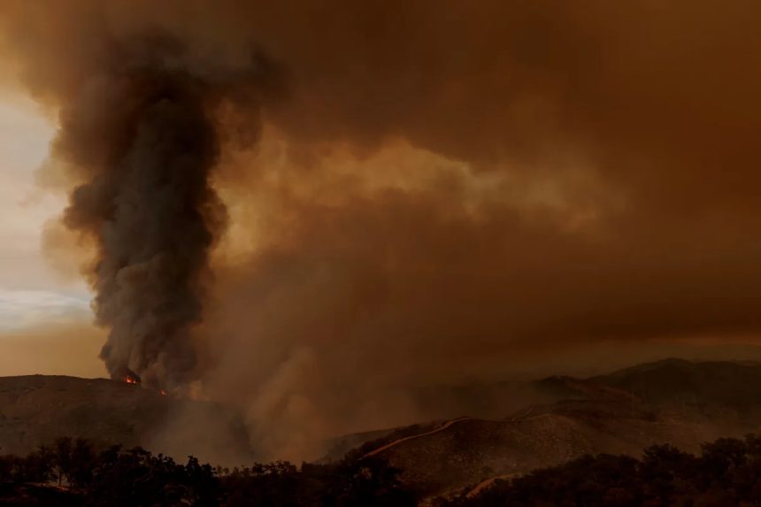
Multiple wildfires continue to burn across California, with some still at zero containment and posing growing threats. High temperatures, dry winds, and low humidity have fueled fire activity throughout August, according to the U.S. Forest Service.
In recent days, cooler weather and coastal fog have aided firefighting in some areas, but conditions remain volatile as dozens of blazes continue to burn. Authorities are managing evacuations and emergency responses.
The Pickett Fire in Napa County, about 55 miles north of San Francisco, was 25% contained on early Aug. 27, Cal Fire reported. Rising humidity and calmer winds helped efforts, though forecasters warned gusts could return on Aug. 27, fueling the fire.
The fire has burned more than 10 square miles since igniting Aug. 21, forcing hundreds of residents to evacuate. County officials declared a local health emergency, citing threats to water supplies and hazardous waste. Nearly 300 homes, businesses, and other structures were threatened, though it was unclear as of early Wednesday, Aug. 27, whether any had been damaged.
Some relief from the heat is expected. Temperatures will remain above average on Aug. 27, but a new weather system and increased cloud cover should ease the heat wave in the Northwest, the National Weather Service said. The northern interior mountain West will also see some moderation, though overnight lows in the 60s to low 70s will persist.
Here’s a look at California’s latest wildfire activity and air quality conditions.
California wildfire map
Air quality map in California
Major active wildfires in California
Gifford Fire
-
Where: San Luis Obispo, Santa Barbara Counties
Garnet Fire
Pickett Fire
Little Fire
Dillon Fire
Gold Fire
Stay informed. Get weather alerts via text
Brandi D. Addison covers weather across the United States as the Weather Connect Reporter for the USA TODAY Network. She can be reached at baddison@gannett.com.
This article originally appeared on Palm Springs Desert Sun: California wildfire map shows size, containment. See air quality map